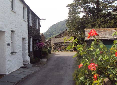
Rosthwaite
OS Grid ref:- NY257148
The ancient village of Rosthwaite is situated amidst stunning scenery in the spectacular Lakeland valley of Borrowdale. It lies on the B5289 road that runs through the valley, to the south of Derwent Water and to the east of the Honister Pass.
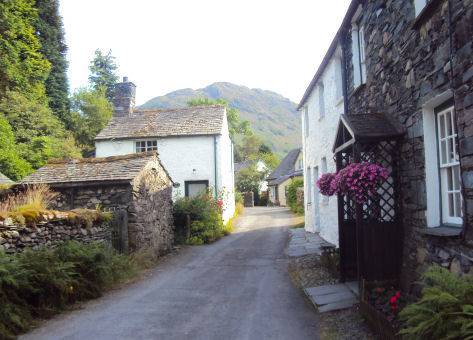
The village has a number of hotels and also offers bed and breakfast accommodation and in addition there is a youth hostel. Its name derives from the Norse words for 'clearing with the heap of stones'.
Nearby Castle Crag, site of an Iron Age hill fort, is now owned by the National Trust, the crag dominates the narrow pass where the mountains rise up from the valley floor to a startling 900 feet summit. The nearest town to Rosthwaite is Keswick, which is situated approximately 6 miles (9.7 km) to the north. A popular location with walkers, a trail leads from the village along the banks of the River Derwent as it flows north to Derwent Water. There are also excellent walks to the Honister Pass and along the shores of Derwent Water to Keswick.