Braithwaite
OS Grid ref:-NY 231237
Braithwaite village lies amidst stunning scenery at the foot of the dramatic Whinlatter Pass. The main settlement is situated in a broad natural clearing, wherein lies the origin of its place-name.
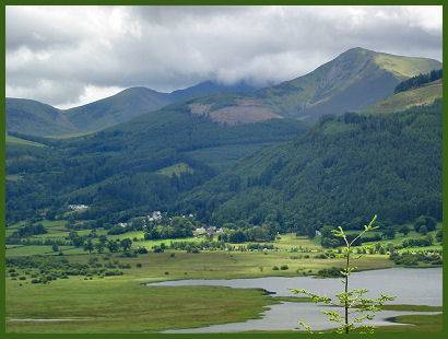
Braithwaite seen across Bassenthwaite Lake
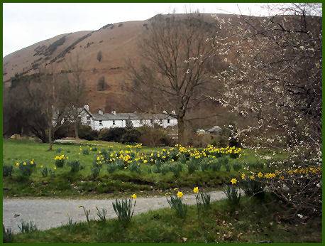
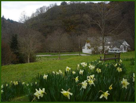
Braithwaite straddles fast flowing Coledale Beck, and is crossed by two stone bridges in the village, one of which dates to medieval times. It has two hotels, a shop and offers a wide range of accomodation to suit all budgets. There are two churches, St. Herbert's and a methodist chapel. The large village is dominated by a campsite, holiday lodgings and retirement homes. Lying between Derwentwater and Bassenthwaite Lake, with Keswick but two miles away, the village makes a good base for touring the North Lakes area. The C2C cycle trail passes through Braithwaite en route to the Whinlatter Pass.
Braithwaite was once an industrial community, home to miners, woollen millers and pencil-makers, the Cumberland Pencil Co. had a factory in the village from 1868-98. A fire resulted in its demolition and the transfer of the manufactury to the nearby town of Keswick.
A walk from Braithwaite to Barrow
Distance -approx. 6 miles
Duration around 3 hours
*Starting at Braithwaite village take the road to Stair and Buttermere, turn left along the gravel road leading to Braithwaite Lodge. Go along the path adjacent to the lodge and continue along the path through the field, keeping the fence to your right.
*Proceed through a gate following the path uphill until reaching the top of Barrow, continue across the top before following the path to the left of Stile End and continuing on to join the path from Stair. Bear right and follow the path always keeping Outerside to the right.
*The footpath passes under Scar Crags to the left and as the depression between Sail & Scar Crags comes in sight lookout for a faint path on the right which loops and descends towards Force Crag Mine which is visible in the valley below. Proceed descending down the path, turning right at the main path and descend crossing over Coledale Beck.
*Turn left to see Force Crag Mine. To return, continue along the old mine road for around 2 miles and bear right down a narrow path heading towards Braithwaite which joins to the road outside the village. Turn right and right again, down a footpath and across the footbridge of Coledale Beck. Turn left to return to Braithwaite.