Catbells
OS grid ref :- NY244199
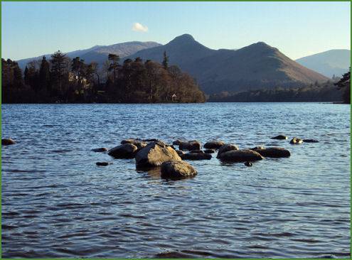
Catbells, to the south-west of Keswick, is one of a ridge of fells which separates Derwentwater from the Newlands Valley, is an extremely popular fell, rising to a modest height of 1,480 feet (451 metres) it is an easy climb that nevertheless commands superb views of Derwentwater. Most of the route to the summit consists of a well made path, however there are some rocky sections which can be difficult in wet or windy weather.
View of Catbells across Derwentwater
The fell's unusual name is said to derive from a distortion of "Cat Bields" which means shelter of the wild cat.
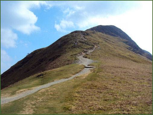
Route to the summit of Catbells
Distance
Duration - around 3 hours
*The ascent of Catbells begins from Hawse End at the foot of the northern ridge, there is a small car parking area here, which can often be full on busy summer days. Further parking is available at Swinside or along the road.
*Take the obvious path from the road and follow it as it zig zags up the hill, passing the plaque to Thomas Arthur Leonard, one of the founders of co-operative and communal holidays.
*Continue to ascend along the path until arriving at the ridge, which affords superb views of Derwentwater and the Newlands Valley to the west.
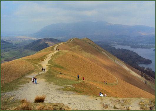
*Follow the footpath along the ridge to ascend steeply again, with a short scramble, to the summit. The view from the summit provides a superb panorama which is dominated by the aerial view of Derwentwater. Bassenthwaite Lake, Keswick and Skiddaw can be seen to the north, the Newlands Valley to the west, while the view south looks past Castle Crag into the beautiful Borrowdale Valley
*Retrace your steps to return.