Grasmoor
OS Grid Ref:- NY 175203
Grasmoor is the highest of the rugged north-western fells, an area characterised by long high ridges. At 2795' (852m) the fell offers a formidable challenge to climbers, it is distinguished by its steep western flank, dropping dramatically to Crummock Water.
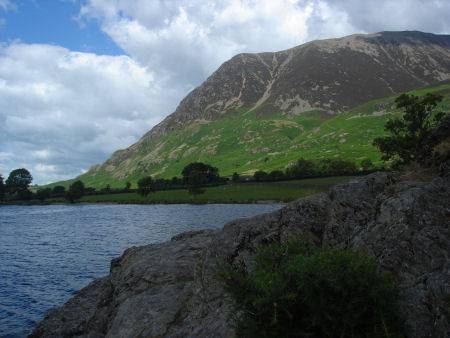
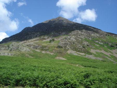
When seen from the west Grasmoor looks like a pyramidal peak but behind its west face are a range of deep cut gills and valleys ringed by high crags. The summit is flat and stony. Like many other Lake district place names, the fell derives its name from the Old Norse language. The word 'grise' meaning wild boar.
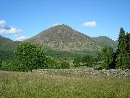
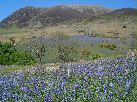
Grasmoor from Loweswater village and from Rannerdale
The easiest ascent of the fell is from Coledale Hause, although it can be reached from Rannerdale via the Lads How ridge. The summit of the fell is situated on a long plateau with many cairns, one of which serves as a shelter for climbers.
Stay safe, by following a few simple rules when fell walking:-
- Obtain a reliable local weather forecast before you set off and plan a route suitable for forecast conditions.
- Check your equipment before leaving, take waterproofs, spare warm clothing, hat and gloves. food and drink, a map, a compass and a survival bag.
- Learn basic mountain skills, particularly navigation.
- If weather conditions turn bad, turn back.
- Don't rely on mobile phones.
Mountains of the Lake District