Blencathra
OS grid reference :-NY323277
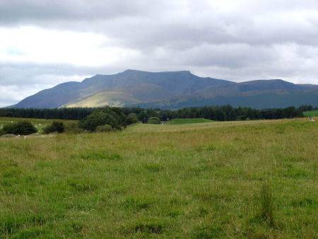
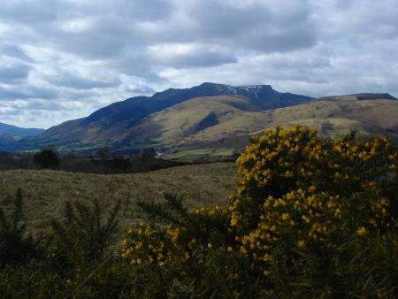
The distinctive plateau shaped mass of Blencathra rises to 2,848 ft (869m) and is one of the most northerly mountains of the Lake District. The mountain is highly popular with hillwalkers.
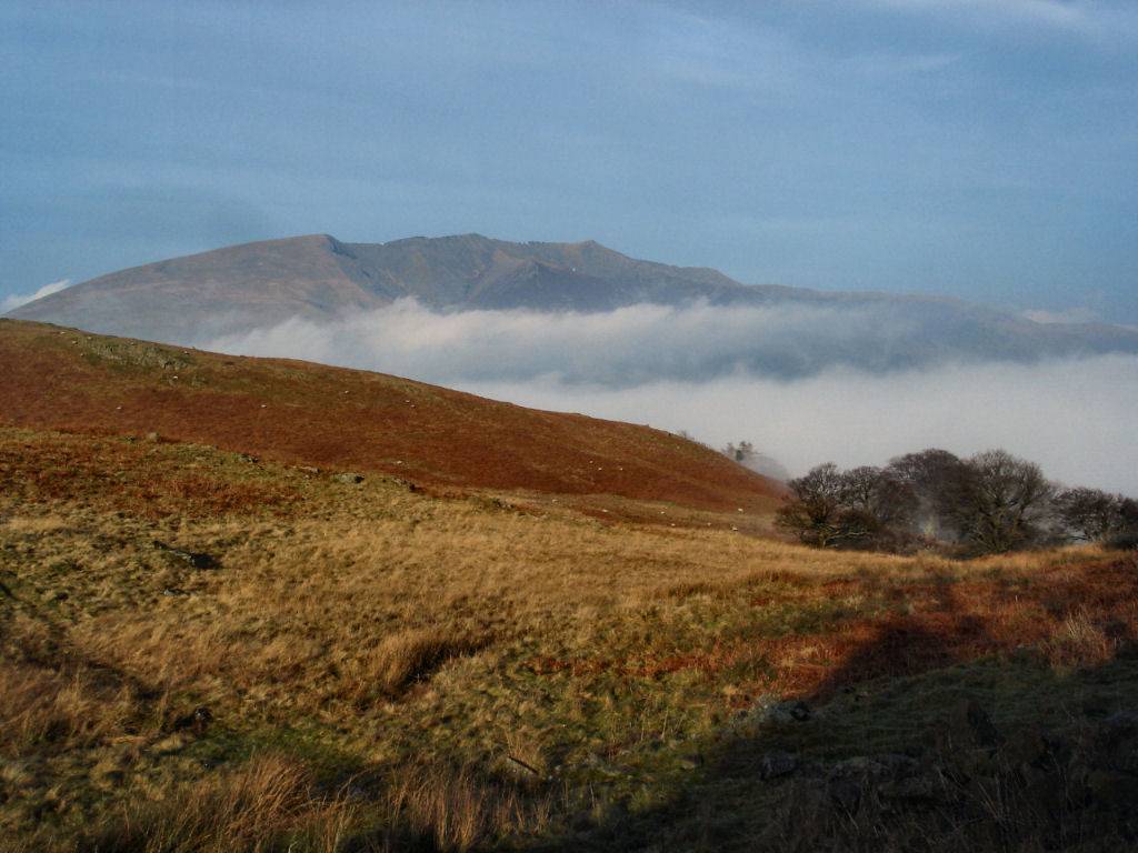
Blencathra rises above the cloud at St. John's-in-the Vale. Click to enlarge
For many years Blencathra went by the name of Saddleback until Alfred Wainwright popularised its old Celtic name of Blencathra, said to derive from 'Blaen' the Celtic word for bare hill top and 'Cathrech' meaning chair. Scale Tarn lies on the eastern side of the mountain, between Scales Fell to the south and Sharp Edge to the north.
There are many routes to the Blencathra''s summit but perhaps the most famous is Sharp Edge on the east side of the mountain, one of Lakeland's narrowest ridges.
The Sharp Edge route to the Summit
length - 7 miles
Duration - 4-5 hours
From the White Horse pub near Threlkeld walk a short distance west along the A66. Just past Toll Bar Cottage and before a lay-by a public footpath marks the start of the route. A well defined path leads up the steep slope, after around three quarters of a mile the path levels to skirt Scales Fell, keep on the path as it veers to Scales Beck.
A very steep climb to the right of the beck leads up to Scales Tarn, beneath the summit of Blencathra. The jagged narrow ridge of Sharp Edge is situated to the right. This is not an easy climb, do not attempt Sharp Edge in high winds. At the top turn left for the short walk to the summit of Blencathra.
The views from the summit are superb and encompass the Solway Firth and Scotland to the north, Scafell, Borrowdale and Derwentwater to the west, Helvellyn to the south and the Eden Valley and the Pennines to the east.
Stay safe, by following a few simple rules when fell walking:-
- Obtain a reliable local weather forecast before you set off and plan a route suitable for forecast conditions.
- Check your equipment before leaving, take waterproofs, spare warm clothing, hat and gloves. food and drink, a map, a compass and a survival bag.
- Learn basic mountain skills, particularly navigation.
- If weather conditions turn bad, turn back.
- Don't rely on mobile phones.
Mountains of the Lake District