Sandwick
OS Grid ref:-
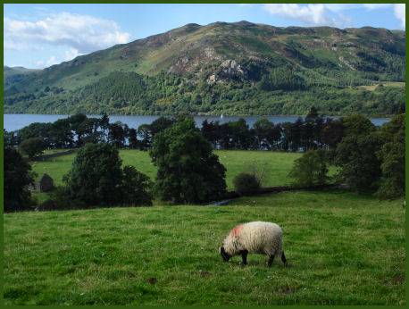
The small and quiet hamlet of Sandwick lies near to Howtown on the east shore of Ullswater.
Ullswater from Sandwick
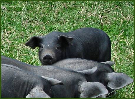
Origonally a Norse settlement, 'Sandewic' derives from 'creek in the sand'. Sandwick and adjoining Beckside Farm are part of an environmentally sensitive area, through which the government provides incentives to farmers and land managers to conserve the landscape.
Piglets at Beckside Farm
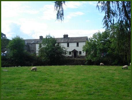
Sandwick's buildings date mainly from the 17th and 18th centuries. There are two paths from the hamlet, one crosses a bridge over the beck and leads through fields to Hallinhag Wood and the shores of Ullswater, the other leads to Patterdale and Glenridding , this route passes Town Head then veers west onto the fells heading down to the shores of Ullswater at Low Birk Fell.