Logo
Home
Windermere East
Windermere West
Southern Verges
Cumbrian
Peninsulas

Langdale Area
Coniston Region
Wordsworth Country
Western Lakes
West Coast
Thirlmere Area
Derwentwater Area
Ullswater Area
Penrith region
North Cumbria
East Cumbria

Map & satellite
Wallpapers


Southern Verges
Beetham
Burneside Hall
Castle Dairy, Kendal
Castle Howe
Crook
Crooklands
Crosthwaite
Helsington
Heversham
Ings
Kendal
Kendal Castle
Kendal Church
Kendal Museum
Kirkby Lonsdale
Lakeland Wildlife
Oasis

Leighton Moss
Levens
Levens Hall
Lyth Valley
Milnthorpe
Museum of
Lakeland Life

Natland
Quaker Tapestry
Sedgwick
Sizergh Castle
Underbarrow
Whitbarrow Scar
Winster Valley
Witherslack

Services

Contact
Links

Crooklands


OS Grid ref:- SD 537836

The village of Crooklands is situated on the Lancaster- Kendal Canal, the canal was used for moving coal from Lancashire to Kendal.

The Lancaster Canal at Crooklands

Crooklands the Lancaster canalLancaster Canal at Crooklands

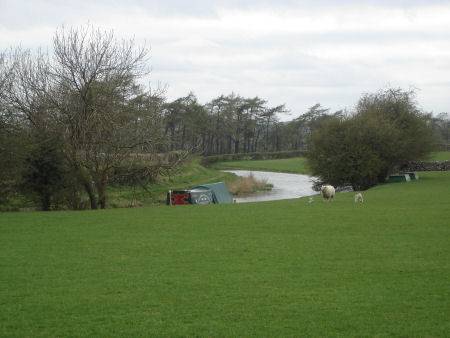
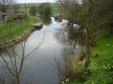
The canal was opened in 1819, there is now a pleasant canal bank nature trail along the section between Stainton and Crooklands, which contains a number of ponds.

St. Patrick's church was originally built in the 1500's, but underwent an extensive rebuild in 1852. Some of the original windows and niches are all that remain from the original building.

St. Patrick's Church

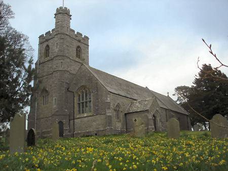
The church was at one time dedicated to St Gregory, a well stands nearby, which is still referred to as Gregory's Well.

Kendal

Lyth Valley