Brant Fell
OS Grid ref:- SD409961
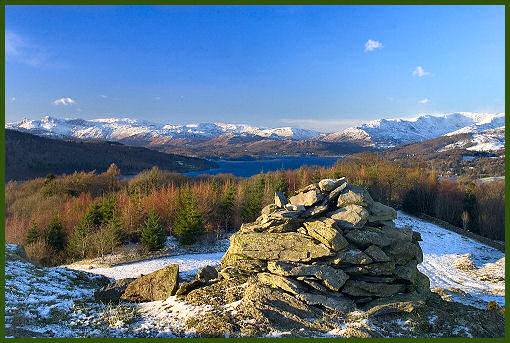
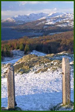
Brant Fell, a small steep outcrop above Lake Windermere rises to 629 feet (191 metres) and provides an excellent viewpoint with stunning views over Lake Windermere and its surrounding fells including the Langdales and Crinkle Crags. The fell is but a short walk from the town of Bowness-on-Windermere, the remains of a Victorian viewing station can still be seen there.
Lake Windermere from the summit of Brant Fell
A walk to the summit of Brant Fell
 Distance:- around 2 miles
Duration -one and a half hours
*Commencing from St. Martins Church in the centre of Bowness-on-Windermere, walk down the opposite road (Kendal Road), turning left at the steep hill of Brantfell Road, pass through the gate at the top of the hill.
*Proceed up the hill to pass through a wooden gate, and turn right, following the path through a wooded area.
*The path veers to the left after a while and drops into a dip. Proceed through a further gate and climb the hill.
*The path continues to a stile in the corner of the field, cross the stile and continue uphill, to the summit of Brant Fell.
*Retrace your steps to return to Bowness.